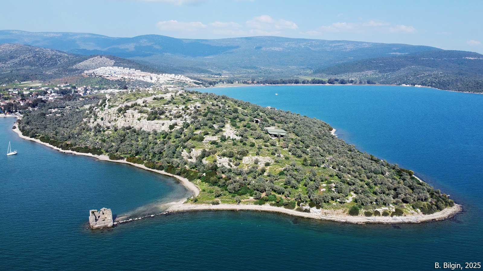
Iasos is situated on a rocky peninsula within the Gulf of Mandalya (ancient Sinus Iasicus) about 20 km west of Mylasa (Milas). The settlement features a steep western profile and terraced eastern slopes rising to an 80-meter high acropolis, flanked by two harbors that facilitated a maritime economy centered on fishing and the export of the renowned local red marble.
The region is inhabited since the Neolithic period. By the Early Bronze Age, Iasos became a significant settlement by exhibiting cultural links to the Cyclades and later the Minoan and Mycenaean worlds. Colonization legends claim an Argive foundation aided by Miletus, yet the population remained ethnically mixed, maintaining a distinct Carian identity alongside strong Hellenic influences evidenced by inscriptions in the Carian language. During the Classical period, the city was a member of the Delian-Attic League, eventually falling under the hegemony of the Hecatomnid dynasty in the 4th century BCE. Following Alexander the Great’s conquest—during which the city received fishing rights in the “Little Sea”—Iasos navigated the wars of the Diadochi and later Roman rule, experiencing prosperity under the Empire before transitioning into an episcopal seat in the Byzantine era.
Modern exploration of Iasos began with 18th and 19th-century travelers, most notably Charles Texier, who in 1849 documented the site and produced valuable plans, albeit damaging the ruins by burning vegetation to reveal them. First scientific excavation was initiated in 1960 by Doro Levi, and the Italian Archaeological Mission has continued its work for decades with various scholars, systematically uncovering the city’s stratigraphy from the Bronze Age through the Byzantine period.
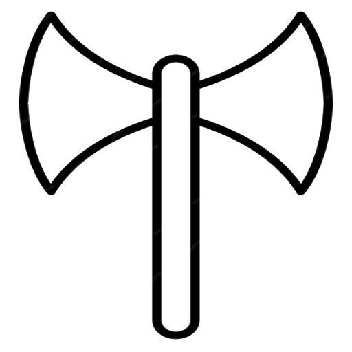
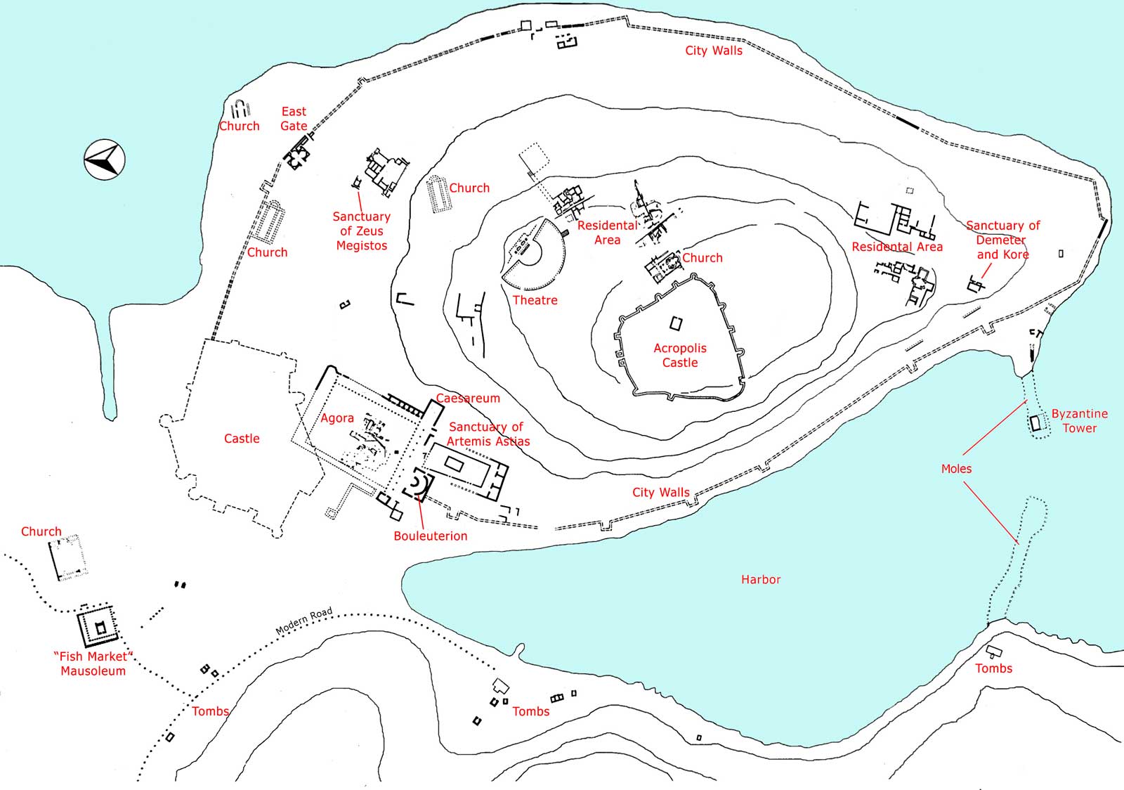
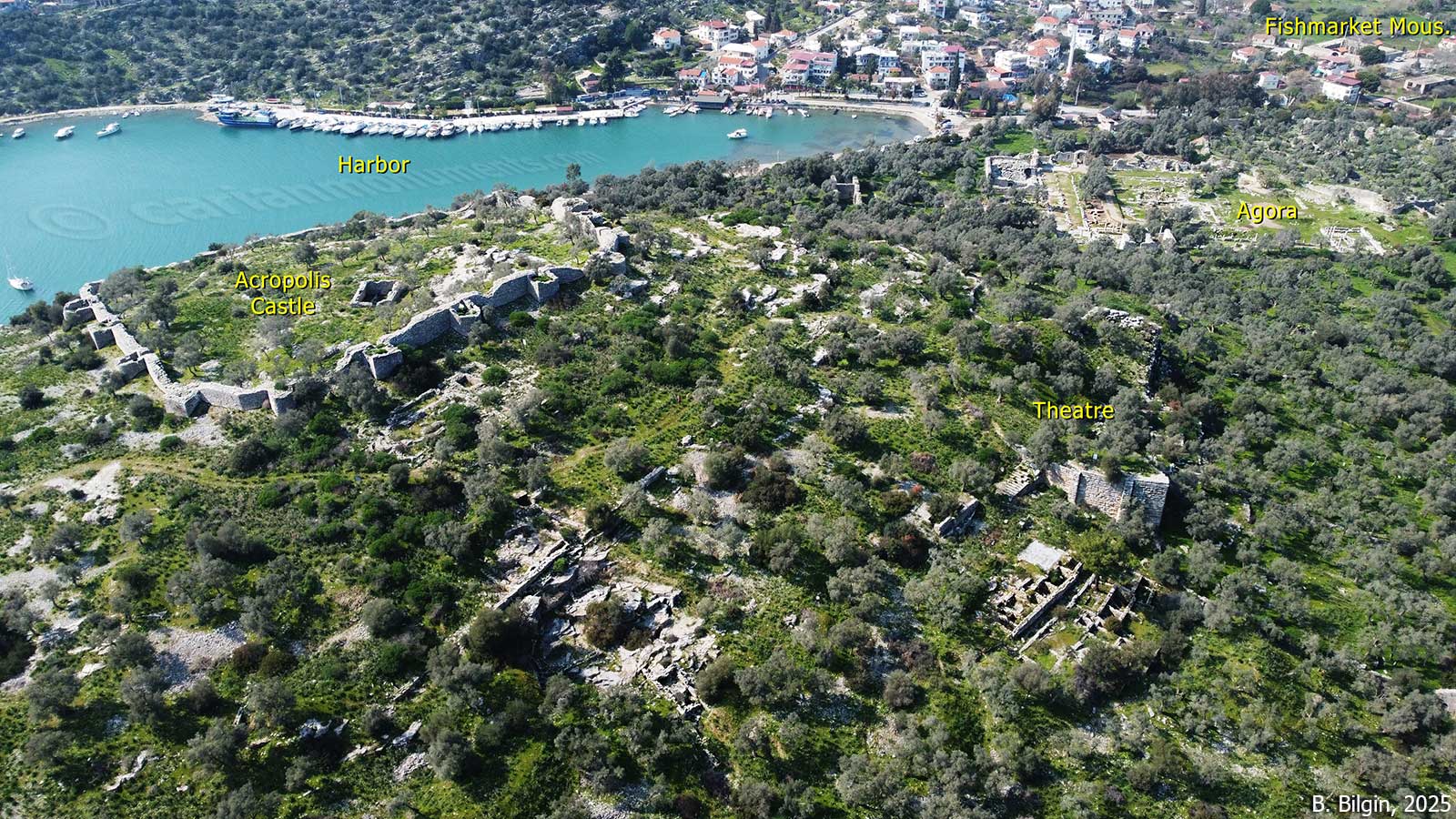
The urban landscape is dominated by the agora, which features stoas reconstructed in the Roman period and surrounds earlier structures like the “Sanctuary of the Double Axes” and a heroon. Notable public buildings include the well-preserved bouleuterion on the west corner of agora, and a theater cut into the northeastern slope of the hill. When the French traveler Charles Texier visited Iasos in 1849, the theater was still largely intact; In 1887, the blocks of the theater and the city walls were transported to Istanbul to construct the quays at the port of Bebek. Religious life centered on sanctuaries such as that of Zeus Megistos near the East Gate and the Sanctuary of Demeter and Kore on the southern promontory. The necropolises feature diverse funerary architecture, including the impressive Roman mausoleum known as the “Fish Market,” located near the aqueduct, while the Byzantine era is represented by fortification walls and basilicas built over earlier civic centers.


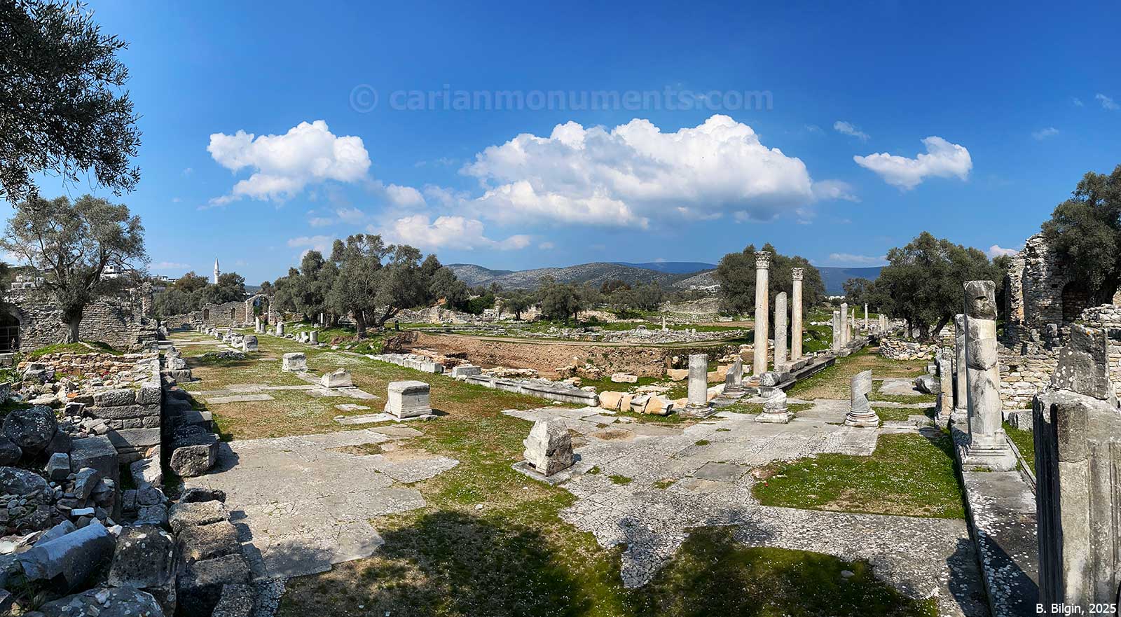
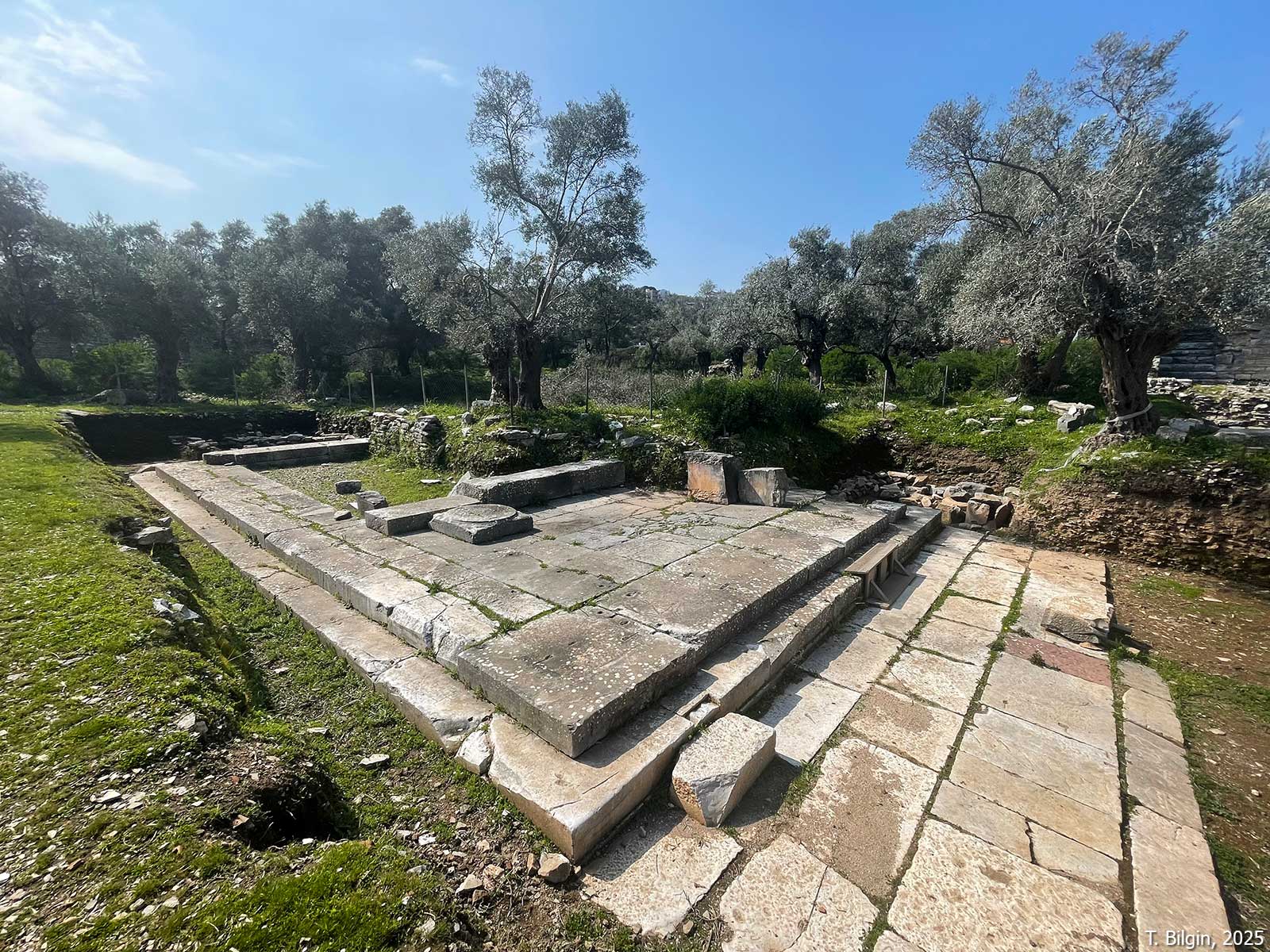


Bouleuterion
Bouleuterion structure, located near the south-west corner of the agora, is one of the best-preserved buildings in Iasos. Originally erected in the 4th century BCE as the meeting hall for the city council, the structure was rearranged in the 1st century CE to serve as a small covered theater (odeion). During the reign of Hadrian, it was further embellished with rich sculptural decorations and new stairs.
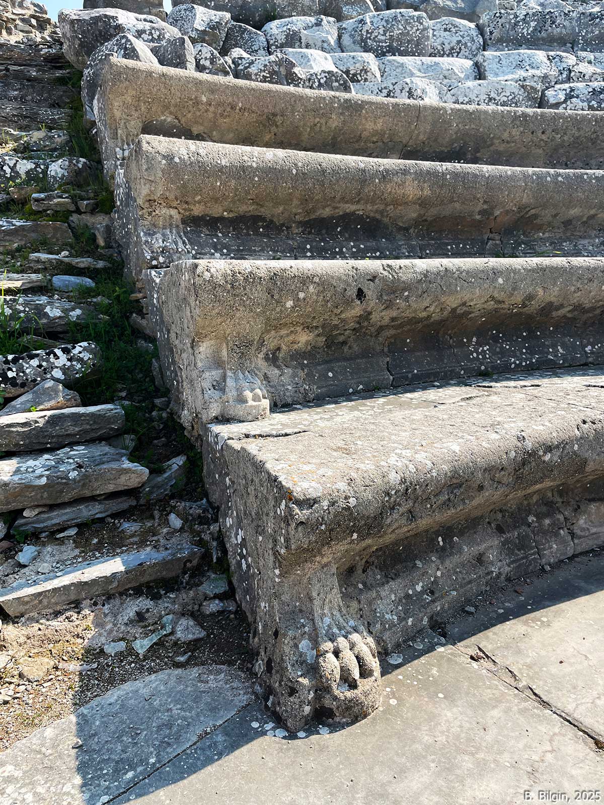
The building is rectangular (21.80 m x 25.70 m) with a seating area shaped like a three-quarter circle. The seats feature lion’s paws carved at the edges of the steps, and the orchestra floor was paved with local white and red marble tiles. The stage building was decorated with two orders of columns and niches.
Excavations in the corridor surrounding the building revealed fragments of a high-quality relief from the Hecatomnid period (4th century BCE) depicting a seated bearded figure. Recent studies suggest this figure may be a rare portrayal of Iasos, the heroic founder of the city.


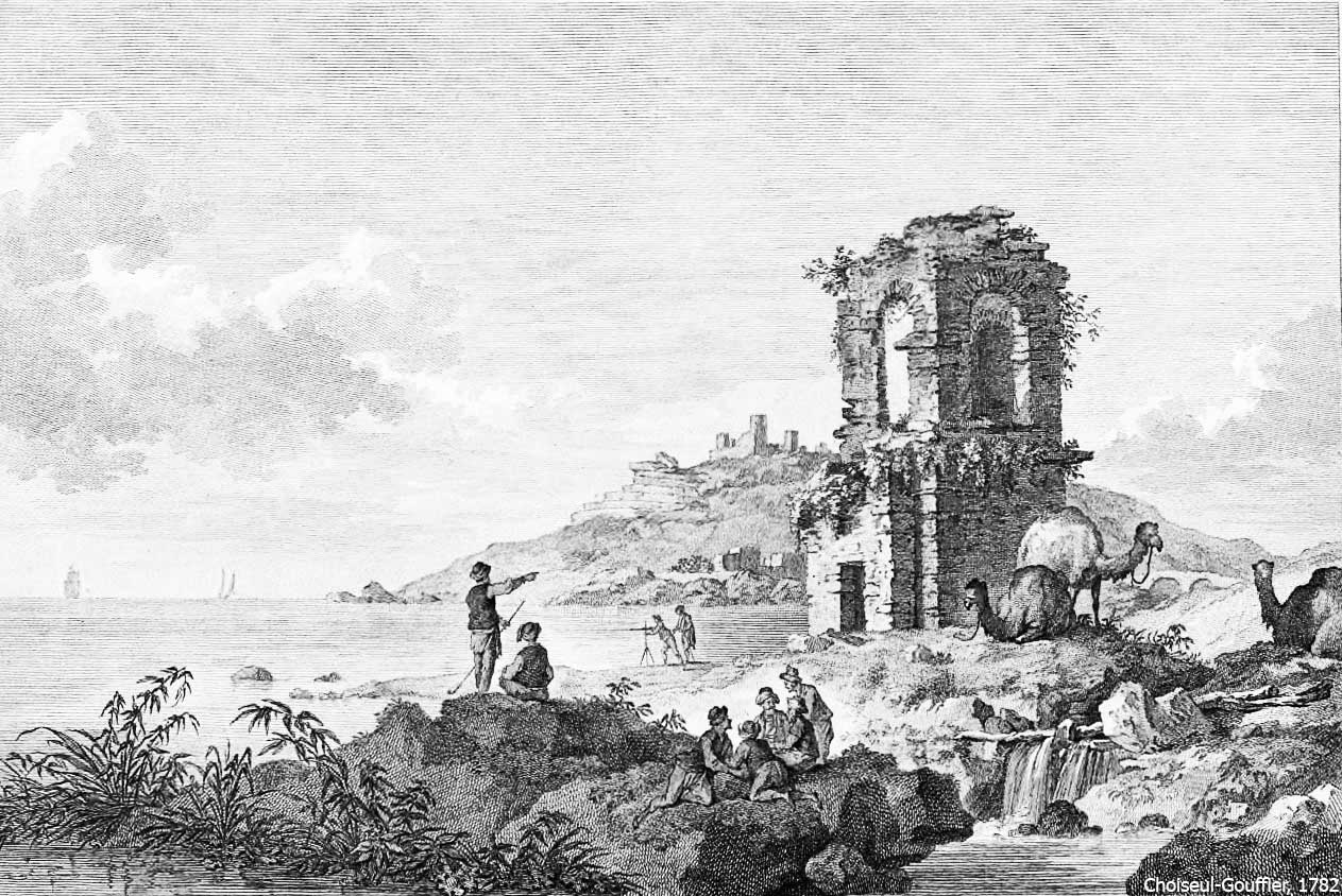
The “Fish Market” Mausoleum
This large complex is the most prominent Roman monument in Iasos, located near the aqueduct. The building’s popular name, “Fish Market,” is a misnomer derived from early travelers and archaeologists who wrongly associated it with the fish market mentioned by the ancient geographer Strabo. It is, in reality, a monumental Roman mausoleum dating to the mid-2nd century CE, likely built after the earthquake of 142/144 CE in a date during the Antonine-Severan period.
The complex consists of a vast square courtyard measuring approximately 40 x 48 meters, surrounded by porticoes with arcades. In the center stands a Corinthian temple raised on a high podium with four columns at the front. The funerary chamber is located within the base of the temple. It contains benches and niches likely used as ossuaries.
The complex included exedrae (semicircular recesses) decorated with frescoes and high-quality mosaic floors featuring geometric patterns, confirming the wealth of its anonymous owner. In 1995, the mausoleum was restored and converted into an open-air museum, where sculptures, inscriptions, and architectural elements from the city are now displayed.


References:
Baldoni, D., C. Franco, M. Manara, & F. Berti. 2004. Carian Iasos, İstanbul.
Berti, F. 2020. “Iasos,” in The Carians, From Seafarers to City Builders, eds. O. J. Henry & A. Belgin-Henry, 406–421.
Choiseul-Gouffier, M. G. F. 1782. Voyage Pittoresque de la Grece, Paris.
Fabiani, R. 2013. “Iasos between Mausolus and Athens,” in Euploia. La Lycie et la Carie antiques. Dynamiques des territoires, échanges et identités, eds. P. Brun et al., Bordeaux, 317–330.
Images:
M. G. Choiseul-Gouffier, 1782
Tayfun Bilgin, 2025
Bora Bilgin, 2025, 2026